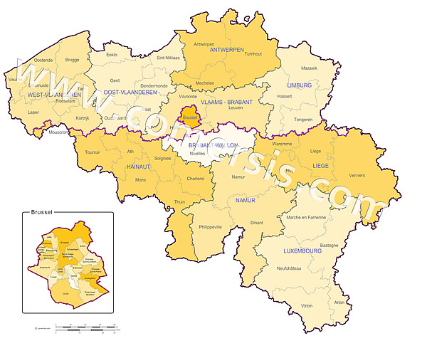
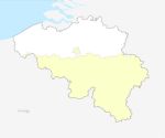
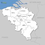
 click on the map to enlarge
Belgian regions, provinces and districts with names in vector format Illustrator AI, EPS and SVG.
Présentation
Caractéristiques
 Illustrator
 Eps
Eps Pdf
Pdf Svg
SvgProduits complémentaires
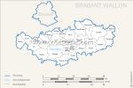
Carte communes du Brabant Wallon
Carte modifiable des communes nommées du Brabant Wallon au format vectoriel EPS, PDF et Wmf.Chaque commune est un objet vectoriel indépendant et modifible (couleur, contours, texte, forme)...
Fourni avec la liste complète des villes du Brabant Wallon en fichier Excel.
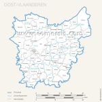
Carte communes de Flandre Orientale
Carte modifiable des communes nommées de au format vectoriel EPS, PDF et Wmf.Chaque commune est un objet vectoriel indépendant et modifible (couleur, contours, texte, forme)...
Fourni avec la liste complète des villes de en fichier Excel.
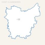
Carte gratuite de la province de Flandre Orientale .
Carte modifiable de la province de au format vectoriel EPS, PDF, SVG et Wmf.Mise à jour fichiers : avril 2017
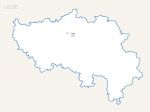
Carte province de Liège gratuite
Carte modifiable de la province de Liège au format vectoriel EPS, PDF, SVG et Wmf.Mise à jour fichiers : avril 2017
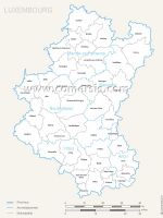
Carte communes du Luxembourg.
Carte modifiable des communes nommées du Luxembourg au format vectoriel EPS, PDF et Wmf.Chaque commune est un objet vectoriel indépendant et modifible (couleur, contours, texte, forme)...
Fourni avec la liste complète des villes du Luxembourg en fichier Excel.
Utilisation / Aide
Retrouvez nos tutoriaux sur la Faq Comersis.com